Lives saved
1

Hiking

Mountain

Lost

Snow
Quandary Peak
39.3972102°N, -106.1064092°W
Posted on May 2, 2018 by Mohammad
What happened?
On Saturday, 1/16/16, the forecast for Quandary Peak in Colorado said to expect gusts of up to 65 mph and temps of -33 with wind chill. It was my first time on that mountain, which is known to be the easiest 14er (a peak that exceeds 14,000 ft) as the route is very straight forward and less than 8 miles round trip. I started at the trailhead (TH) at 7:00 am. Soon after the start of the hike, I was feeling the cold both in my feet and hands. I kept rotating my arms rapidly in large circles to keep the blood flowing into my fingers. I learned this effective technique from reading mountaineering books. Visibility was very low past the tree line at around 12,000 ft, partly because of blowing snow and partly because my goggles had iced over from the inside because my breath was going in through my balaclava and fogging the lenses. I learned later that if I have tightened the goggles strap or had an anti-fog balaclava, my goggles would not have iced over.
At 13,600 ft, I turned around as the conditions were bad, I was feeling the altitude and wanted to save energy for the descent. This was about 11:00 am. As a flatlander from the Midwest, I normally need a few days to acclimate and I had arrived in CO the night before. On the descent, due to low visibility, I lost the trail at treeline. I ended up going the wrong way to the north east of the trail and postholing (which means with each step you fall through the snow creating a hole) in very deep snow with my snowshoes. Without snowshoes, walking in very deep snow would have been impossible, and I would have been a human popsicle in no time.
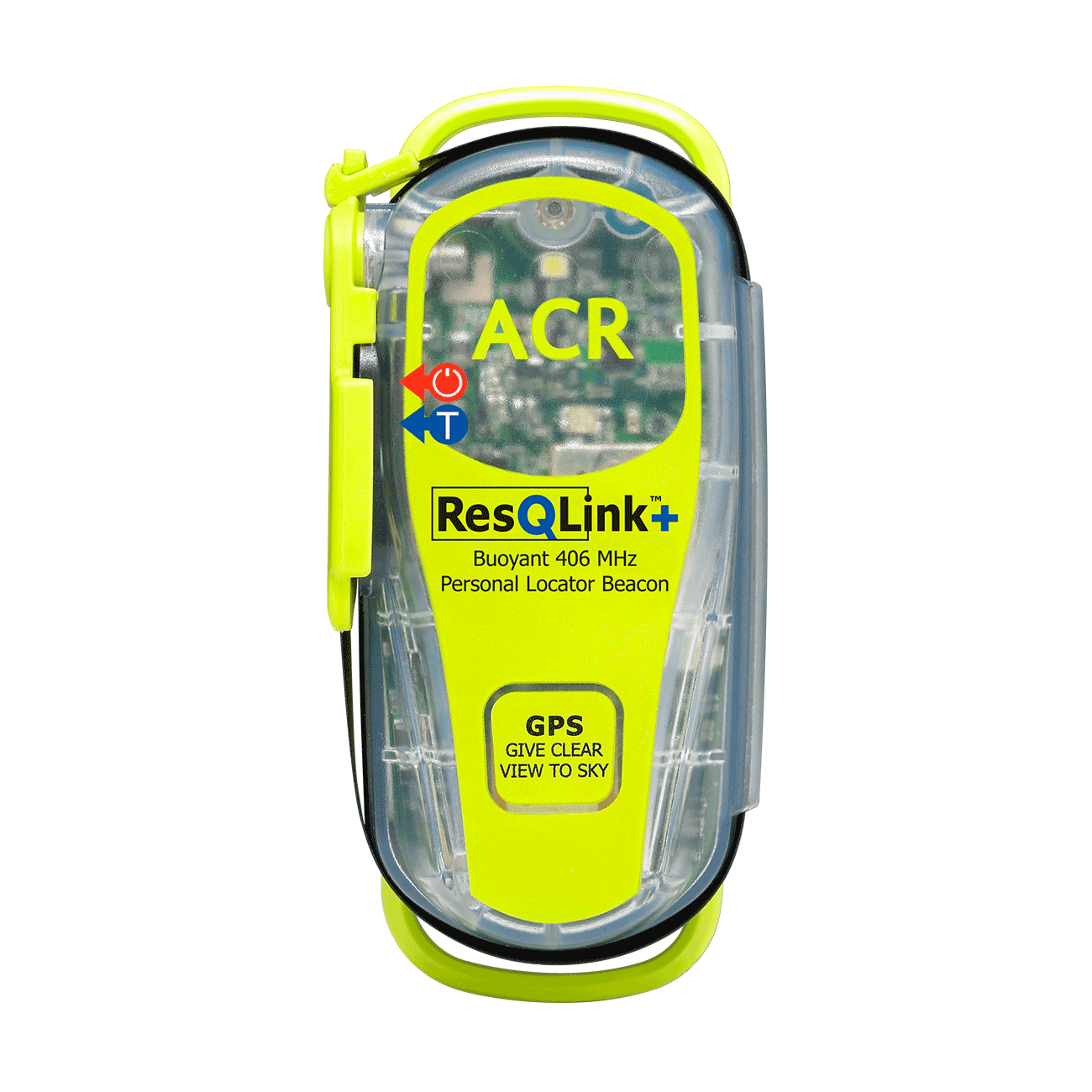
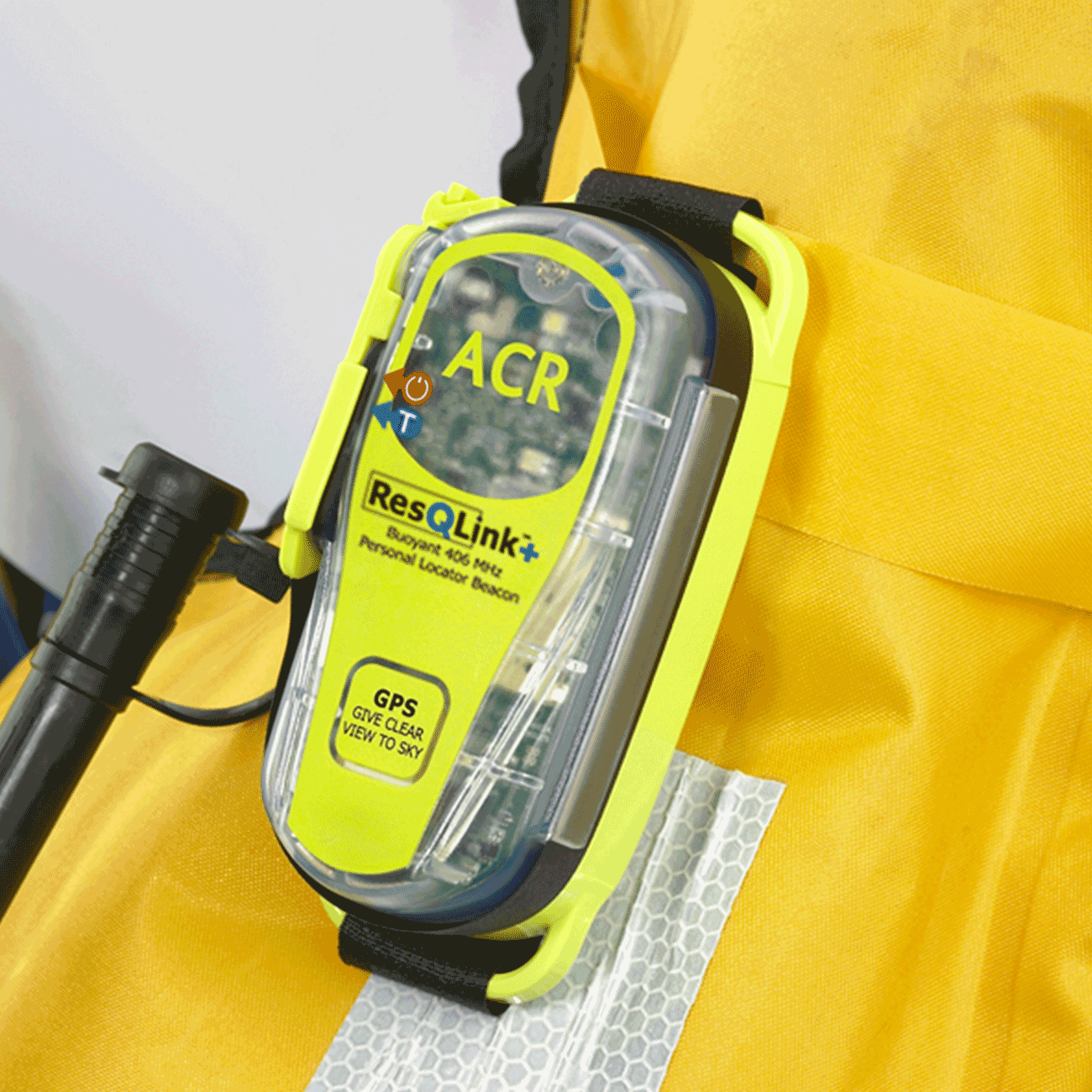
I finally arrived at a dirt road at 11,000 ft after several hours of postholing; I was relieved and sure I would be back at the TH soon. I wanted to check my map and compass to figure out which way to go, left or right? I had my compass but realized I forgot to pack my map, so I ended up going the wrong way and eventually reached the end of the road, which wasn’t the parking lot at the TH. By this time it was getting dark and I had exerted myself for about 10 hours and had absolutely no idea where I was. I was fatigued and it was getting colder by the minute. My hands and feet were starting to get numb and I was glad I was able to press the little button on the personal locator beacon (PLB) and activated it to send SOS signals. .
I knew it would take the search and rescue (SAR) team a few hours to arrive (though I also was thinking that, perhaps, for various reasons they may never arrive). So, I had to make a camp quickly. I decided to make camp under a pine tree. I broke tons of branches and tried to simulate an insulating mat, put on all of my clothes, used my backpack as a pillow and insulation for my upper back. Fortunately, I had a bivy sac with me, which is a thin and very light weight sleeping bag (mine weights ½ pound) and I situated myself in the bivy sac. Bivy sac enhance the probability of survival in cold conditions by reflective the body head back to the body. I had to be very efficient as I needed my fingers outside my mitten for zipping and pulling draw cords, but could not expose them for more than a minute at a time. I placed my water bottle in the bivy sac, which was a great idea because this kept it from freezing. Once I was all tucked away in the sac on a comfortable bed, I soon started shivering.
I was gladly able to spiritualize the occasion and even meditate, which was interesting as it reduced my shivering. I was ready for any outcome and was completely at peace. I kept repeating a few affirmations: “Don’t worry; God is with you”; “Everything that comes to my life, comes from God for my spiritual progress”. I was ready to not go back to my life and all its facets, and began to accept the effect my death would have had on everything and everyone I knew, including the devastation it would have caused my mom. The feeling of complete surrender was liberating.
While meditating, I heard a voice that I thought was SAR. I also thought I heard a snowmobile, only to realize that it was just the buzzing in my left ear that mysteriously sounded like a snowmobile. At around 1:00 am I thought I heard a human yell. I quickly opened a little space in my sac and yelled back, but heard no response. Later, I realized my breathing sometimes sounded a bit like a faint yell. But a bit later than that, I heard another yell and the real sound of snowmobiles that were very nearby. I quickly jumped out of the bivy sac and started yelling, grateful that I had not lost my voice. Although I did have a whistle, it would have taken some time to figure out where it was in that mayhem. Words cannot explain how I felt when help arrived and how much I appreciated these SAR angels. They said I was their second Quandary rescue that day… I only ended up with frostnip in my hands and feet.
1. If I had my simple map that I had downloaded from 14er.com with me, I would have found my way back to the TH (later when I went back to the hotel, I saw the map on the bed waiting to be packed.)
2. If I did not have a PLB, I would have been either dead or with severe frostbite.
3. If I didn’t have my bivy sac, I would have been either dead or with severe frostbite.
4. If I didn’t have snowshoes, I would have been sunk to my head in deep snow and would have died.
5. If I hadn’t been training my legs for about two months, I would have had no chance of surviving.
6. If the SAR team hadn’t been so dedicated, I would have been either dead or with severe frostbite.
The SAR volunteers are among the best people I have met in my life; they are totally focused on nonjudgmentally pampering the people they rescue like a babies, emotionally and physically. On January 17, 2016, the Summit County Rescue Group describe this event as follows:
“Late yesterday afternoon we responded to a call from the U.S. Air Force for the activation of a personal locator beacon (PLB), placing the individual in the vicinity of Quandary Peak. Unfortunately, the first four ‘pings’ from the beacon were not co-located, or really even close, thus setting up a difficult search situation. We were able to clear one location easily; one location was very difficult and dangerous to reach with serious avalanche conditions and severe wind loading of the snow; and two more were options to clear. Fortunately, one more ‘hit’ from the satellite matched one of the other coordinates and we sent in a team to that location. The person was located in a tree well and was becoming hypothermic. After rewarming in an ambulance for an hour, the hiker was deemed suitable to drive to get a hotel at a nearby town. A very lucky individual indeed. Thanks to the US Air Force (AFRCC), Summit County Sheriff’s Office and Summit County Ambulance Service for their assistance.”
The winds were so high that the back window of my car was shattered.. That is another great story, where Farmers Insurance was able to help me and get the window replaced within just a few hours and other good things happened in the process. Ultimately, I survived, my car survived, I had one of the best experiences in my life, and made it home. Thank you God.
Words of wisdom
I learned that the PLB should be kept “in a positon where the sky can be seen for as far in all directions as possible; away from large metal structure; the antenna vertical; away from heat sources and people”. I had my PLB in my backpack bag with the antenna sticking out. I was using the backpack as a pillow under a tree. This could explain why it didn’t work as efficiently as it should have.
Thank you note
Thank you ACR.
Rescue location
Quandary Peak
Rescue team
Other
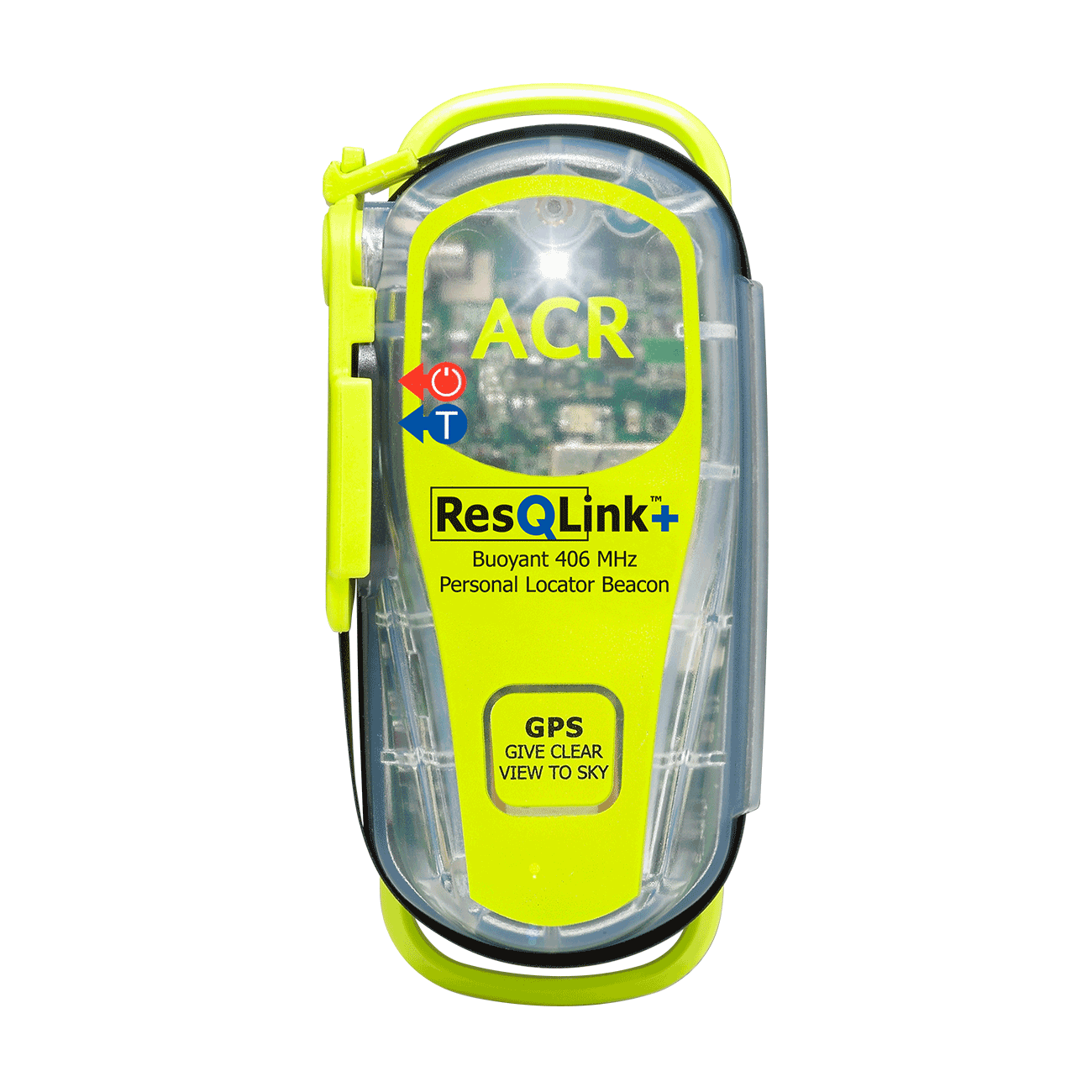
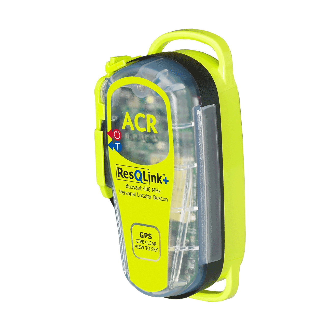
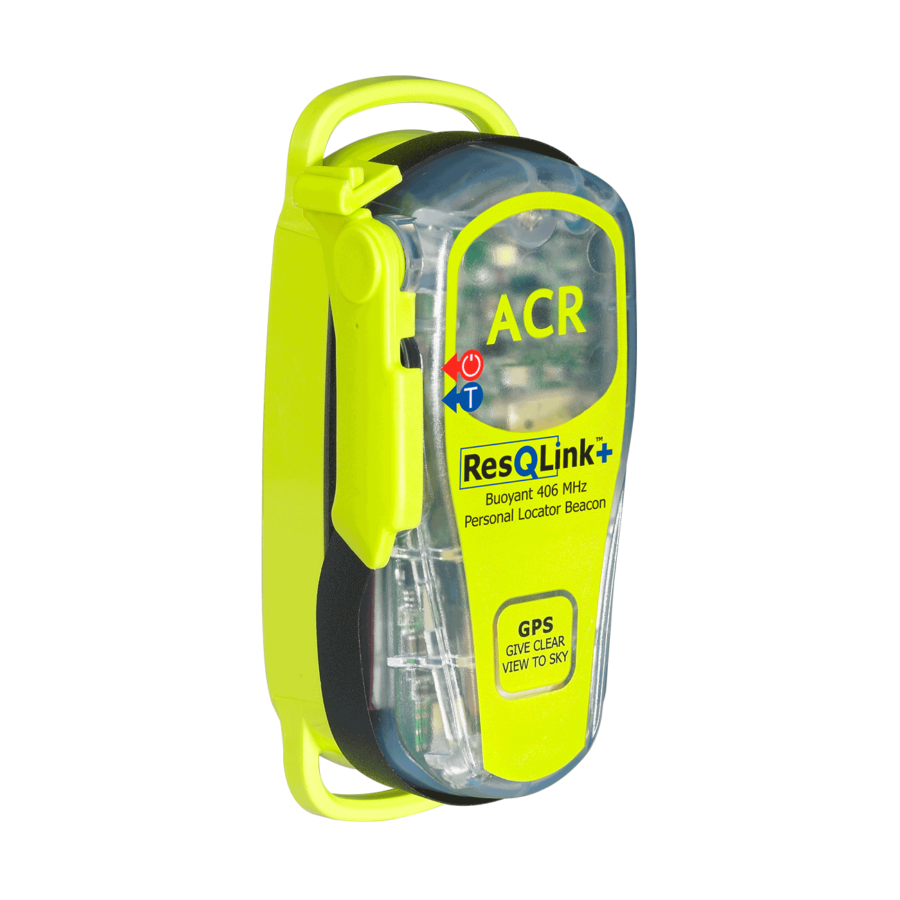
ResQLink™+
Go to product details- Buoyant
- LED strobe light
- Self Test
- 66 Channel GPS
- Easy emergency activation
- Antenna clip
Out of stock

