Lives saved
2

Hiking

Mountain

Lost
Thunder storm
los angeles
34.0522342°N, -118.2436849°W
Posted on May 3, 2018 by Qu
What happened?
A friend and I planned a nice loop hike on Christmas day. Based on the trail map, this loop will be a 16 mile hike. However, when we approached the last one sixth of the trail (approaching a canyon), we found out the trail was destroyed in a fire six years ago. It was not even a trail. That was about 3:30 pm. If we turn back, it will be dangerous and we will be stuck on the steep ridge trail, which is easy to get lost on.
So we decided to carry on and wish we could find the trail once we crossed the canyon. Luckily, we carried a topography map that helped us get down the bottom of the canyon without falling from a cliff. When we got down, we found out the last 2 mile trail did not have an exit. It was getting dark, so we decided to climb the last mountain which would lead us to our car right on top of the hill. However, it was too dark and we only had one headlamp. So we ended up on a cliff roughly 500 feet above the streambed in the darkness and cold wind.
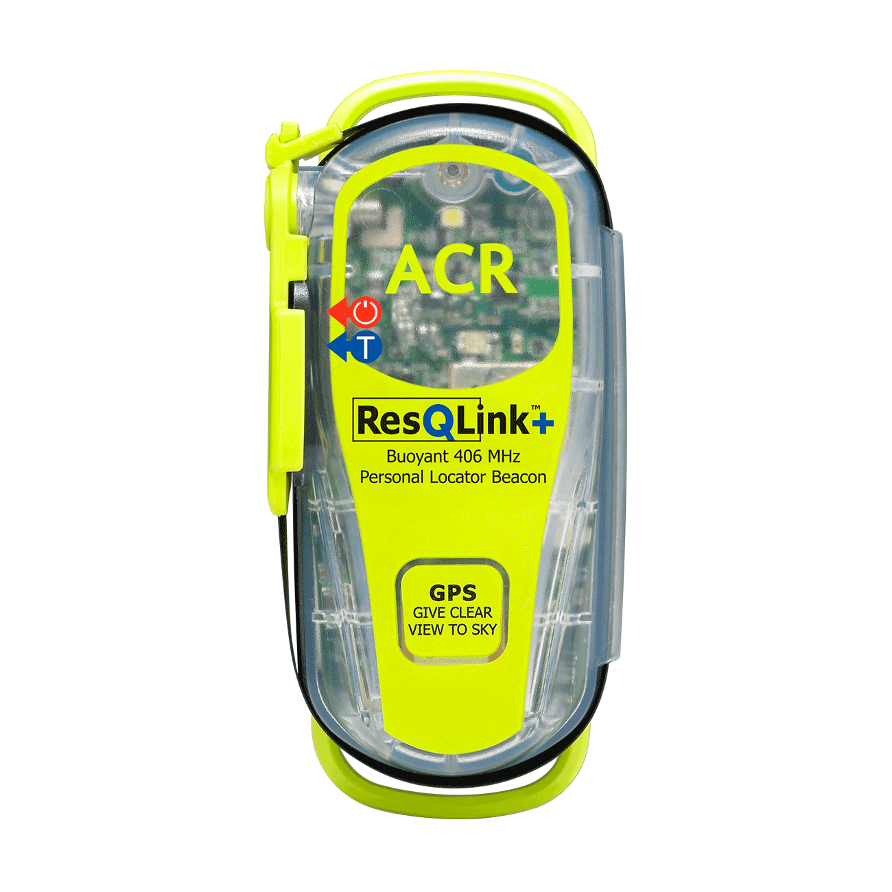
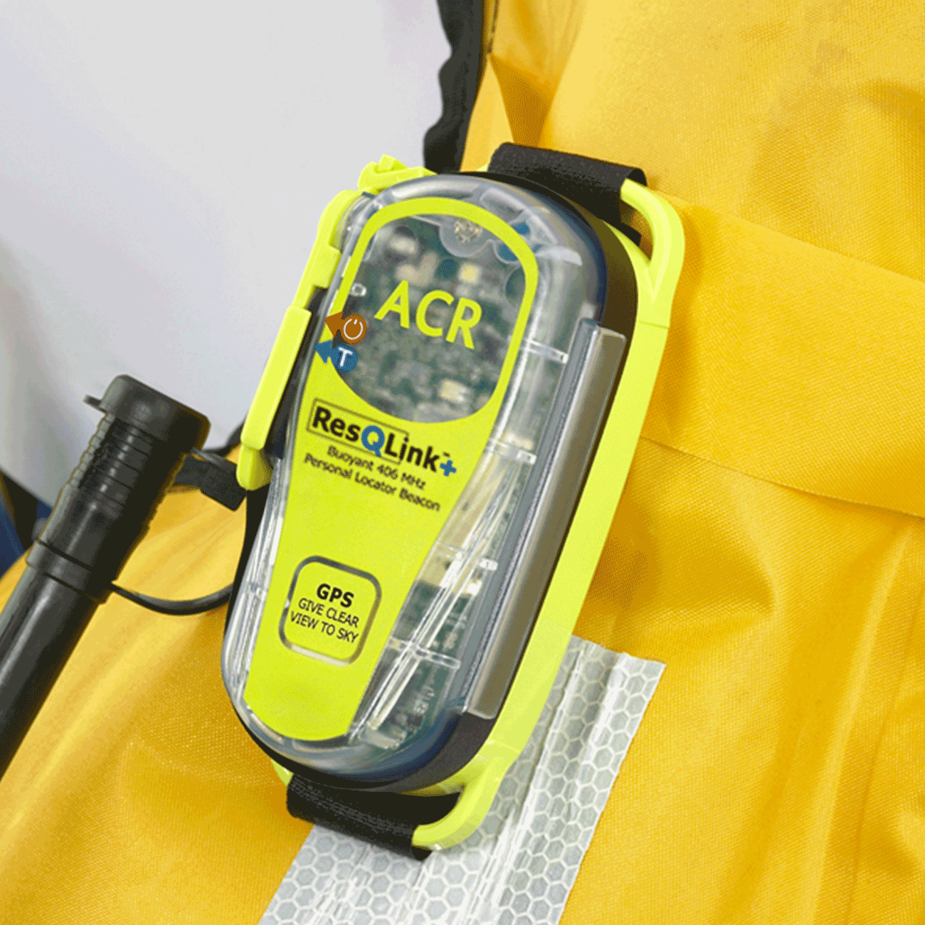
We made a decision to call 911, but we lost the signal. Then the cell phone died. After roughly 30 minutes later, we decided to activate the ResQLink PLB to get us out there without being killed or injured. Once the State Governor’s Office of Emergency Service confirmed we were in danger, the Los Angeles County Sheriff’s department and Montrose SAR formed a rescue team.
The location where we were stuck was right under the high voltage electrical wire, the rescue team had to hike down the canyon and climb up the cliff to reach us, which took them three hours. Once we gained warmth, the team roped us down from the cliff and hiked out the canyon through another trail with us. That was 2 am on December 26. No one was injured!
In that five to six hours waiting time, we felt so cold and so anxious. We had no choice. If we stayed, we didn’t know whether people would find us and rescue us before we froze to death. If we moved, we could get injured or killed. Once we saw the light from the mountain across the canyon, we stopped shivering. I think that was the power of hope.
Words of wisdom
If you want to know what I learned from the surviving experience:
1. Always have the emergency equipment with you when you hike, long or short. Whistle, headlamp, PLB beacon, emergency blanket, and extra food water clothes. A good map will be plus too.
2. Always tell people where you are going and what is the plan of the trip.
3. Stay put after you send out your signal. Be positive, there are lots of people are looking for you, it just take time for them to find you and locate you.
4. Be responsible. Always double check the place you go. Make a phone call. Two minutes will save a big effort later on.
Thank you note
Thank you ACR!
Rescue location
los angeles
Rescue team
Other
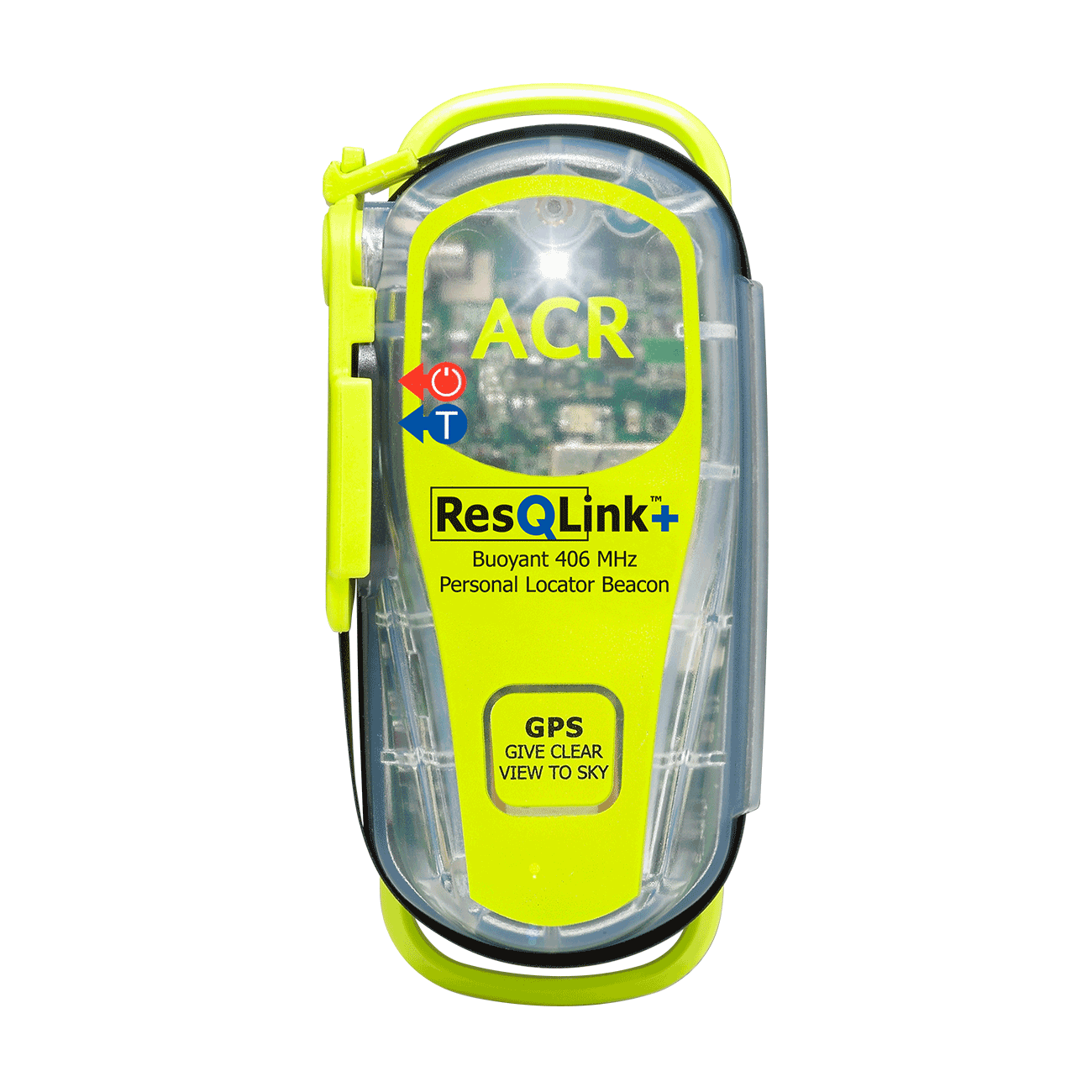
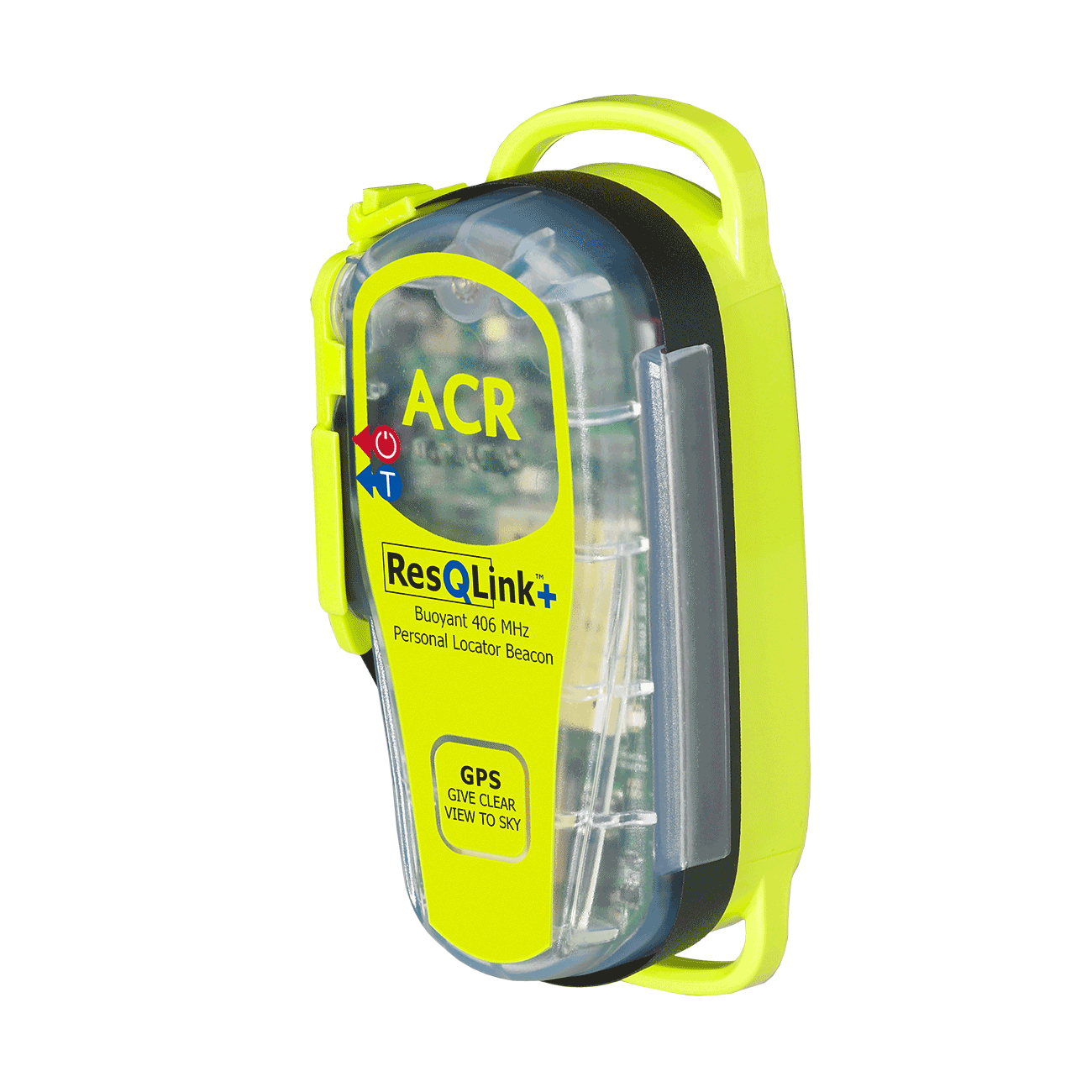
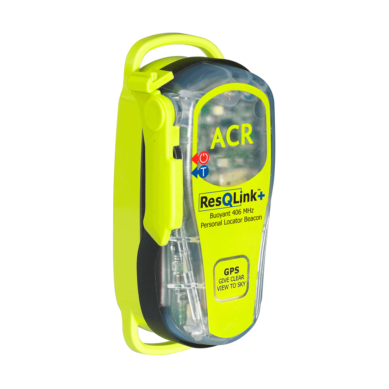
ResQLink™+
Go to product details- Buoyant
- LED strobe light
- Self Test
- 66 Channel GPS
- Easy emergency activation
- Antenna clip
Out of stock

