Lives saved
3

Boating

Ocean

Boat Sinking

Rogue wave

Thunder storm
Guam
13.444304°N, 144.793731°E
Posted on June 11, 2019 by Larry Raigetal
What happened?
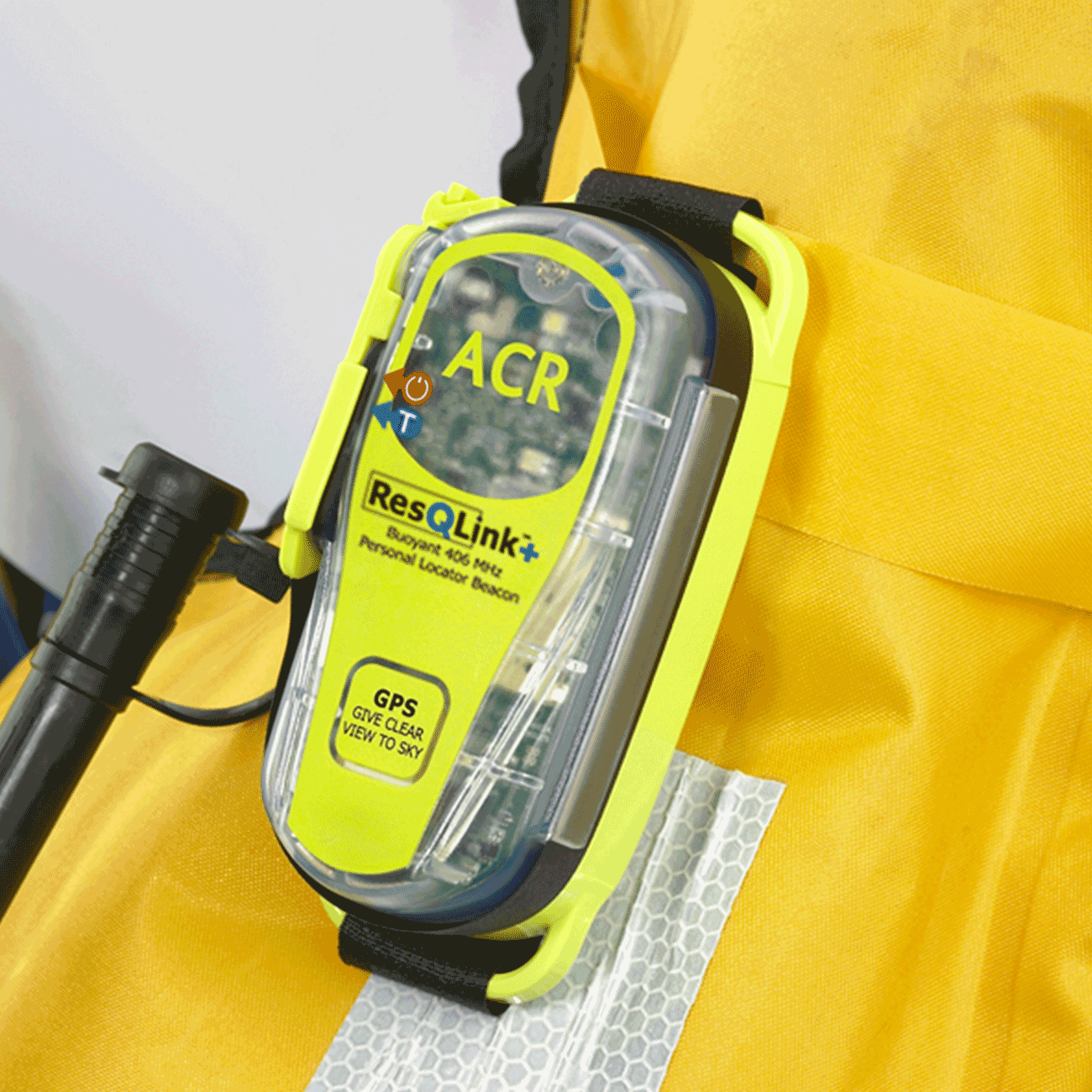
We sailed a traditionally designed proa from Guam in the northwest pacific for a small atoll “Lamotrek” located over 400 miles southeast of Guam. The voyage which used traditional way-finding systems was estimated to take 4 to 5 days. After two days of sailing we estimated to be halfway (200+ miles) through the voyage. We encountered stormy weather with heavy rain, gusty winds and rough seas. At about 8:20 in the morning of saturday June 8, our canoe was capsized. We first secured whatever survival supplies we could get and at 8:45 am our ResQLink+ PLB was activated.
The emergency center and coastguard picked up the signal and put a SAR plan in motion. The nearest vessel participating in the Automated Mutual Assistance Vessel Rescue System program (AMVER) was the MV Frio Mogami, a Greek freighter bound for Bangkok. They were advised to proceed to our location which would take them 12 hours of steaming. The Pacific Missionary Aviation PMA in Yap was advise to do a fly over and airdrop food, water, flares, and VHF. The small plane took 2.5 hours to get to us and did the airdrop.
At 8:30pm the vessel Frio Mogami was on site but due to rough seas, the rescue proved difficult. After several attempt and us being in the water for over 13 hours we were finally rescued and on board the freighter. We drifted the night until the next morning when the US Coastguard Cutter Kiska arrived and we were transferred to and returned back to Guam.
Words of wisdom
The ocean will always win
Thank you note
Totally grateful to have the ACR plb, live saver indeed thanks
Rescue location
Guam
Rescue team
Coast Guard
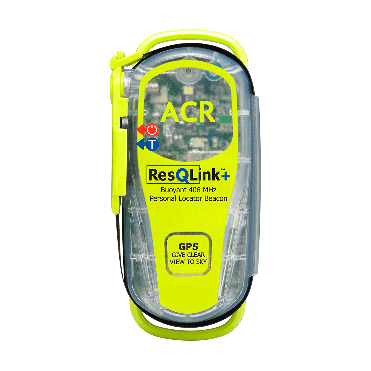
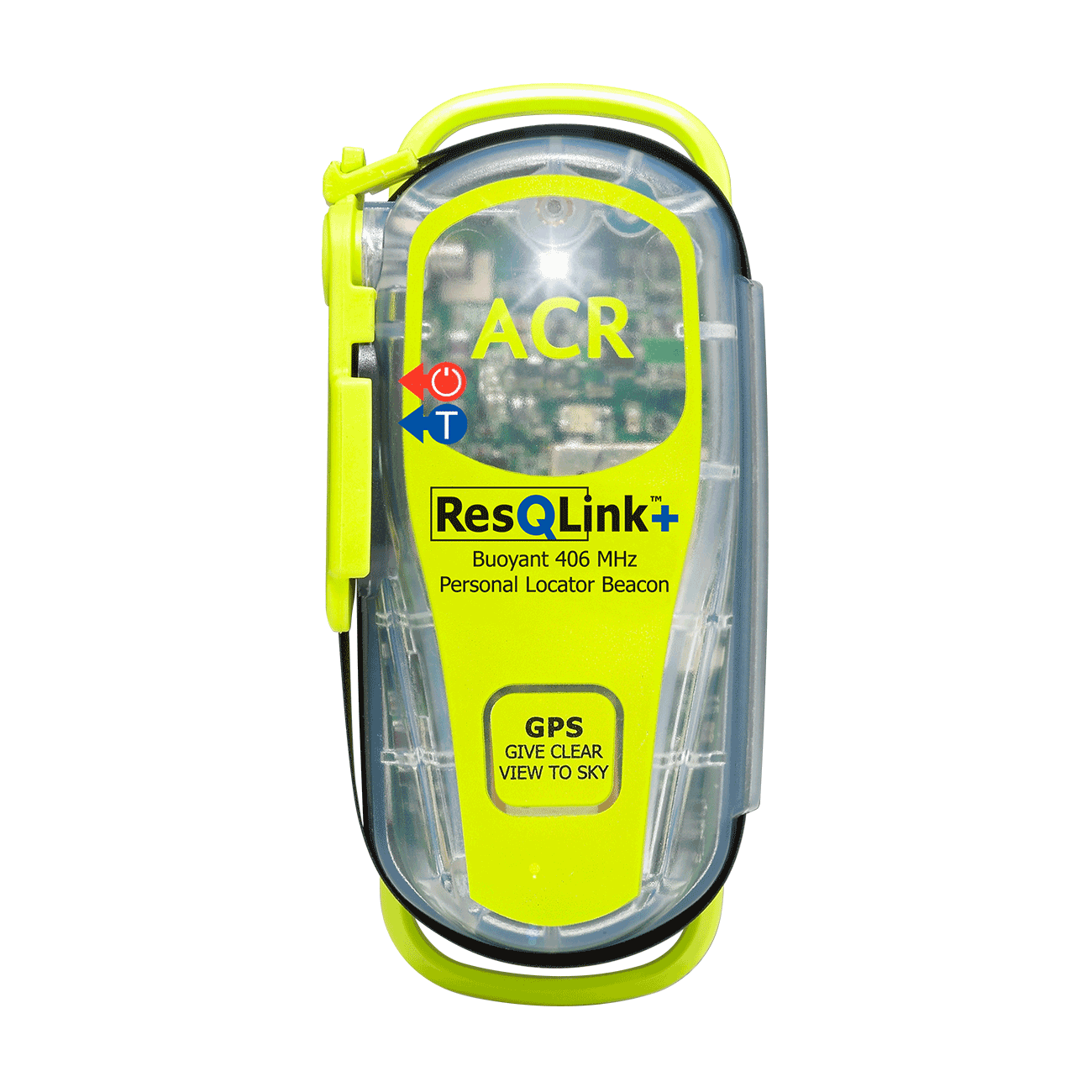
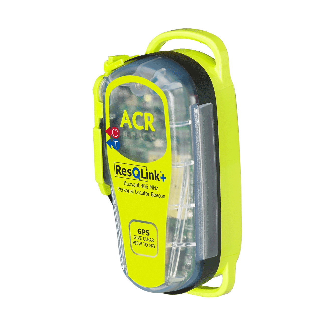
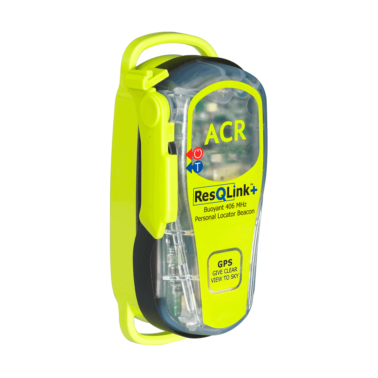
ResQLink™+
Go to product details- Buoyant
- LED strobe light
- Self Test
- 66 Channel GPS
- Easy emergency activation
- Antenna clip
Out of stock

