Lives saved
1
Climbing

Mountain
Medical emergency

Snow
Yoho National Parks in the Canadian Rockies
51.4666667°N, -116.5833333°W
Posted on May 2, 2018 by Apgar
What happened?
I was a member a party of 10 on a ski traverse of the Wapta Icefield in Banff and Yoho National Parks in the Canadian Rockies in March, 2015. The highest elevation on the traverse is reached when crossing the Balfour Col. On the day our party crossed the col, visibility was poor, but we had maps, compasses, and GPS handhelds, and two members of our party had completed the traverse previously. We reached the col in whiteout conditions, and shortly thereafter, the skier in the lead dropped out of sight. We quickly determined that he had skied off the sheer side of the mountain. We had been aware of the presence of this cliff, but because of the whiteout, we had not seen it or realized that we had veered so close to it.
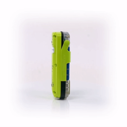
Because of the length of his fall and the poor visibility, we could not see any trace of the fallen skier. We could not even determine how far he had fallen. We therefore felt that there was a high probability that he had sustained grave and possibly fatal injuries, and, not wanting to waste any time that could be used in preparing a rescue, we made the decision to activate my AquaLink beacon. I’d been carrying this PLB on remote outings for more than 6 years, but never had to activate it.
Knowing that a professional rescue would not be possible until the storm cleared, which could be the following day, we attempted to reach and aid the fallen skier ourselves. We built an anchor and sent a member of our party down the cliff on rappel. After descending some ways down, he radioed up that he could see the victim, alive and conscious. He had fallen several hundred feet over multiple cliff bands, and had luckily come to a stop on a sloping ledge, where he was able to arrest his fall. He lost or damaged much of his ski equipment, and may have briefly lost consciousness, but—improbably—had suffered no apparent serious injuries. The victim was able to ascend steep slopes to reach the rescuer’s location, and the two began ascended the 60m of rope that we had affixed to our anchor.
During these efforts, Parks Canada had received our distress signal, including the GPS fix, and dispatched a helicopter. The helicopter made two passes of our location, but was unable to land due to the poor visibility (we were only able to hear it passing overhead).
Approximately four hours after the accident, both victim and rescuer had ascended the rope and reached the top of the cliff, and our party was reunited. We were able to descend several hours to the nearest hut, where we spent the night. The following morning, the Search and Rescue team reached the hut, and extracted the victim by helicopter.
Words of wisdom
Never go climbing without your PLB.
Thank you note
Thank you ACR!
Rescue location
Yoho National Parks in the Canadian Rockies
Rescue team
Local Search and Rescue