Lives saved
1

Off-road

Mountain

Lost
Normal conditions
Stranded Motorcyclist Found with the help of his ResQLink VIEW RLS
-35.207545429664°S, 148.35938596725°E
Posted on July 14, 2023 by Mitch
What happened?
After getting into enduro-style motorcycles, I found myself without others to ride with. That’s why I got the ResQLink VIEW RLS from ACR.
I started out Saturday around 10am and followed some tracks up in the forest near Tumut. After awhile, I ended up in an area that was quite steep and very unfamiliar. Following a major clutch failure on my bike, I decided to follow some of the overgrown tracks, but became disoriented and fatigued. Upon coming across a track, there was severe washout one way, and a large fallen tree in the other direction.
Instead of taking either route on the track, I took the bike down a steep grade into a creek, and slowly climbed up a steeper hill on the far side. After reaching the top, and climbing under a fence, I gained my bearings relative to the town and started back down the hill. A few incidents later – a 3m long tumble (5m vertically) onto rocks, and being thrown into blackberries – I finally made it to the creek.
I spent an hour of trying to pull the bike up the creek bank (no clutch to ride the bike), but decided to park the bike and began walking around 4:30pm. I exhausted my food around 1pm and had no water, so I filled the water bottles in my pack with water from the creek and began hiking in my motorcycle gear (minus the helmet) in the direction of my UTE.
After walking for almost 2 hours, the sun had set and the temperature dropped to near zero very quickly. Without clouds overhead, and as the wind started to pick up, I made the decision to activate my ResQLink VIEW RLS. I also made the high-risk decision to continue towards my vehicle as I knew there were roads nearby that I would stumble across if I continued.
This proved to be a very slow task, due to pushing through a few hundred meters of tall (2m) blackberry bramble in near total darkness. Several wombat burrows also made me lose footing and had to be climbed out of carefully.
Once the police rescue arrived, I found that I was still less than halfway to my UTE and, at the rate I had been travelling, would have taken close to 6 more hours to reach it (plus over an hour of travel home).
As it was, the police found me at approximately 9:15pm and alerted my emergency contacts. Returning to my UTE around 10pm, I was able to make it home a bit after midnight and eat for the first time in almost 12hours.
After resting, I was also able to recover the motorcycle relatively quickly thanks to the GPS points that were sent with the distress beacon. Thankfully, my safety team was able to provide the information of where I was and what I was wearing to the emergency responders, as well as confirming my location.
I will be making sure to get a new PLB before continuing to ride.
Words of wisdom
Assuming that tracks on maps are easily accessible can lead to more complications if there are trees across them, or if they are washed out. Further, leaving additional food and water at your end point is a good idea.
Thank you note
Many thanks to the ACR team. the ResQLink VIEW RLS worked perfectly. Though the police were unsure how to get to my exact location, the GPS points were very accurate!
Rescue location
Q9R5+XQ Wyangle NSW, Australia
Rescue team
Law Enforcement / Police
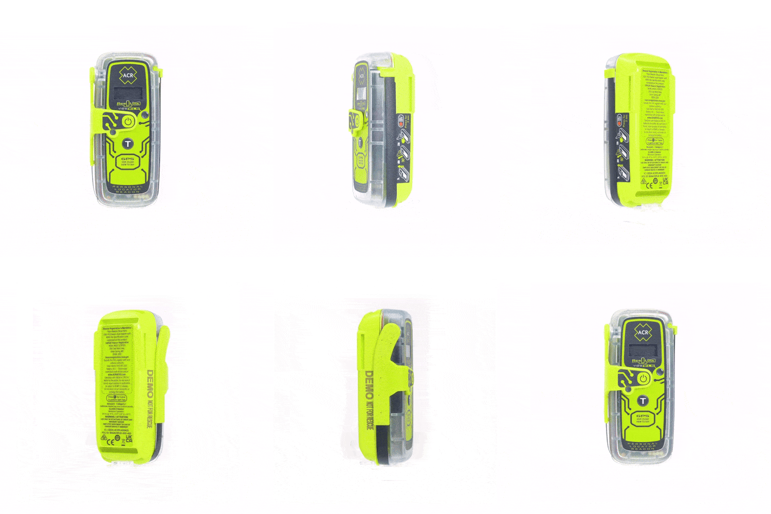
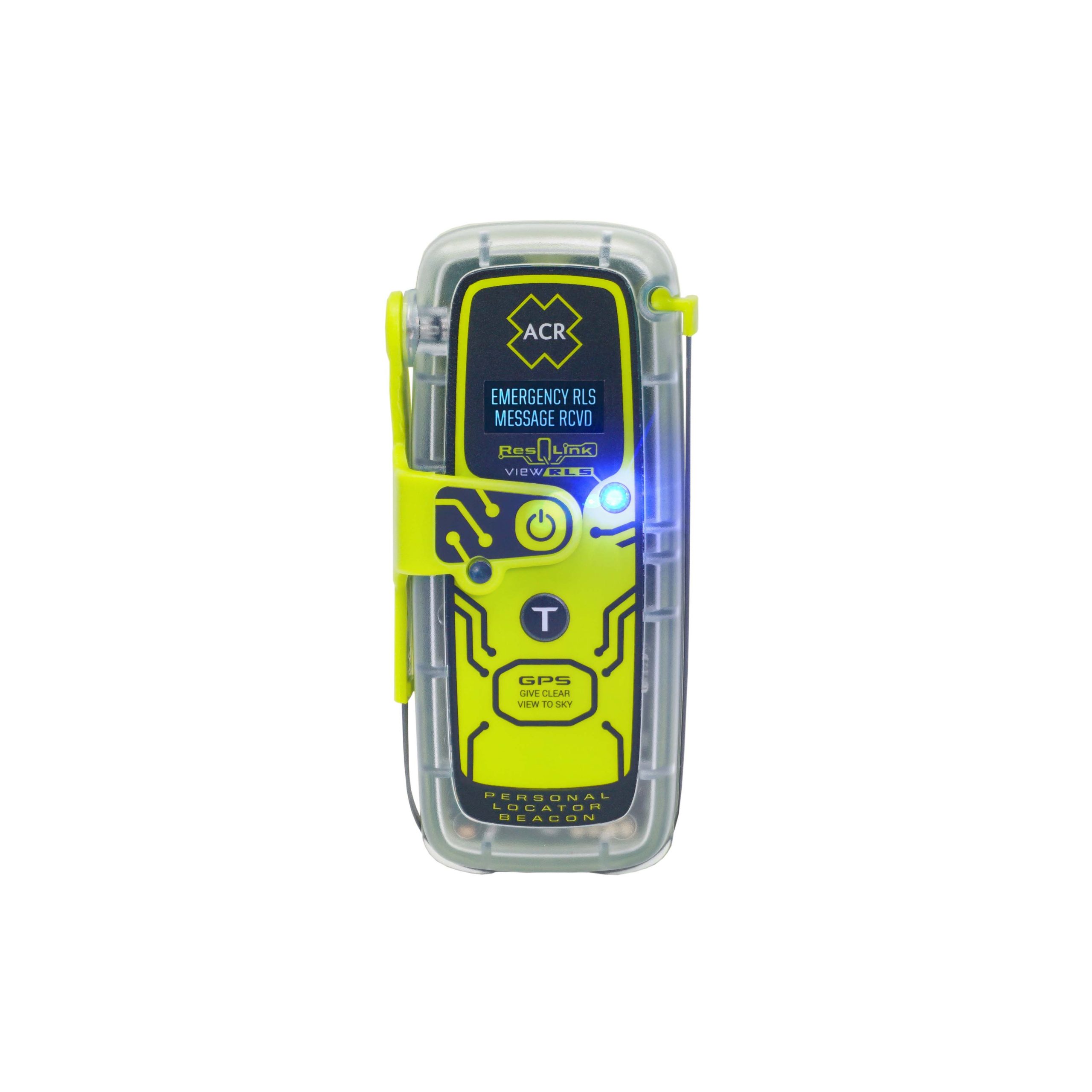
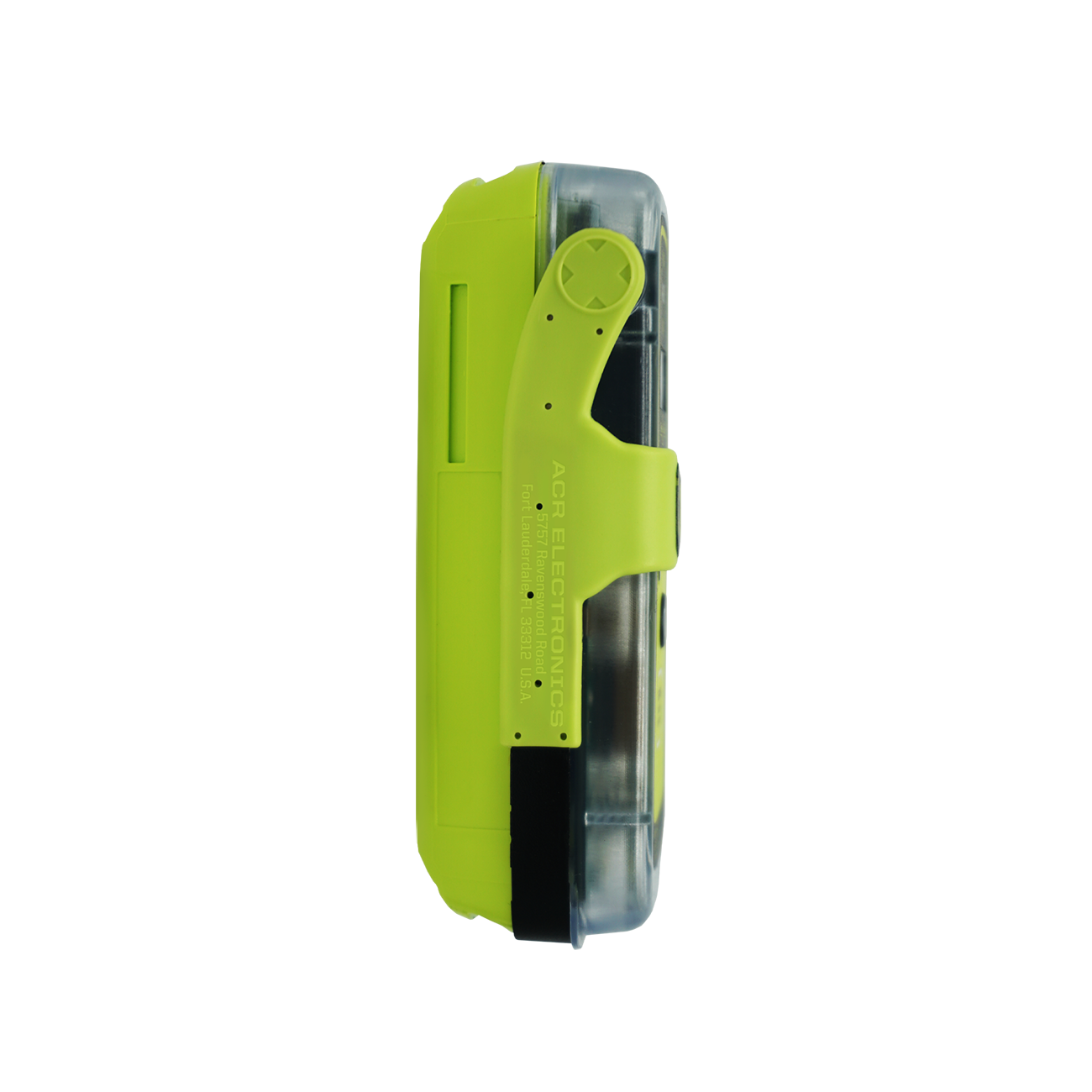
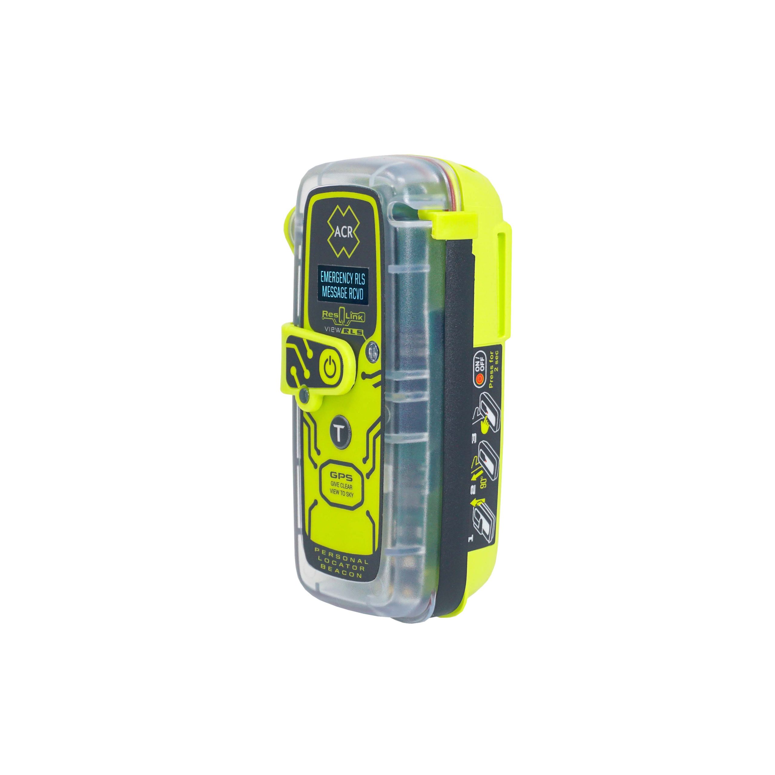
ResQLink™ View RLS
Go to product details$484.95 – $589.95
- No Subscription Required
- Digital Display
- Return Link Service (RLS) Functionality
- GPS | Galileo GNSS
- Built-In Buoyancy
- Strobe and Infrared Strobe
- Global Coverage
- MEOSAR Compatible
- Small and lightweight
- 5 year battery life
- 28 hours Operational Life**
- Multifunction Clip System Included
- Exclusive ACR Skins included with purchase (customize your beacon and tailor it to your lifestyle and preferred activities)


